A digital school atlas, map-based lessons, map quizzes and a GIS map builder in one browser tab. Ready-made content for grades 7–11, and real GIS tools students use to research and present their own projects.
Runs in any browser — on the interactive whiteboard, school laptops, tablets and at home.
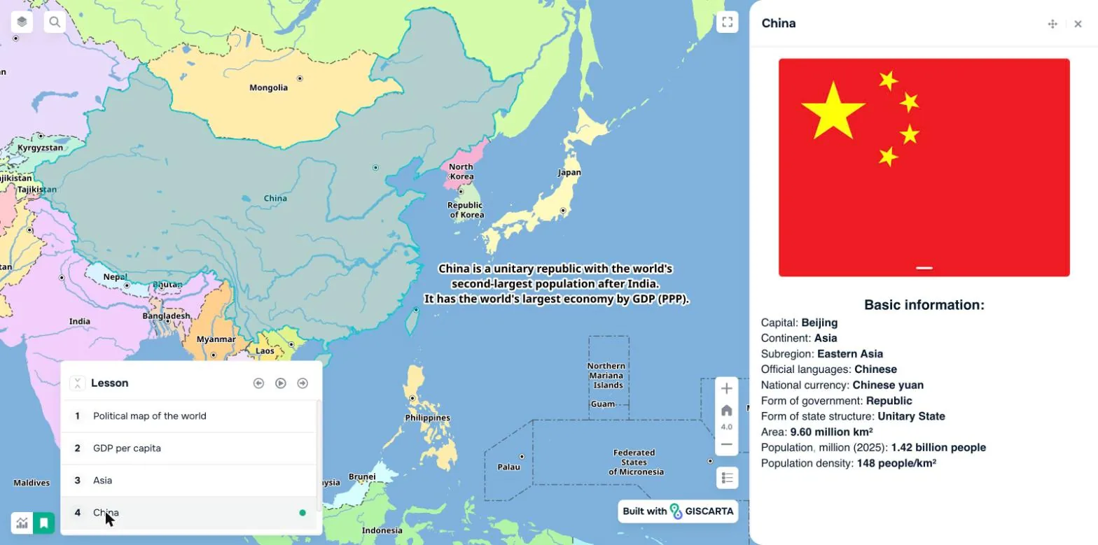
Lesson “Political map of the world” · step 4 of 5: ChinaOpen the live map
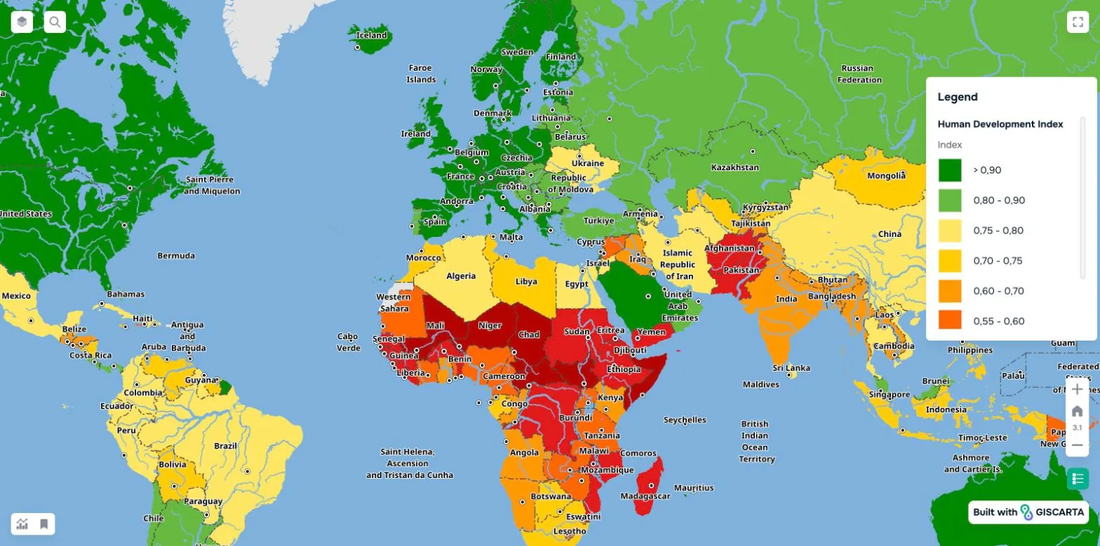
Interactive atlas
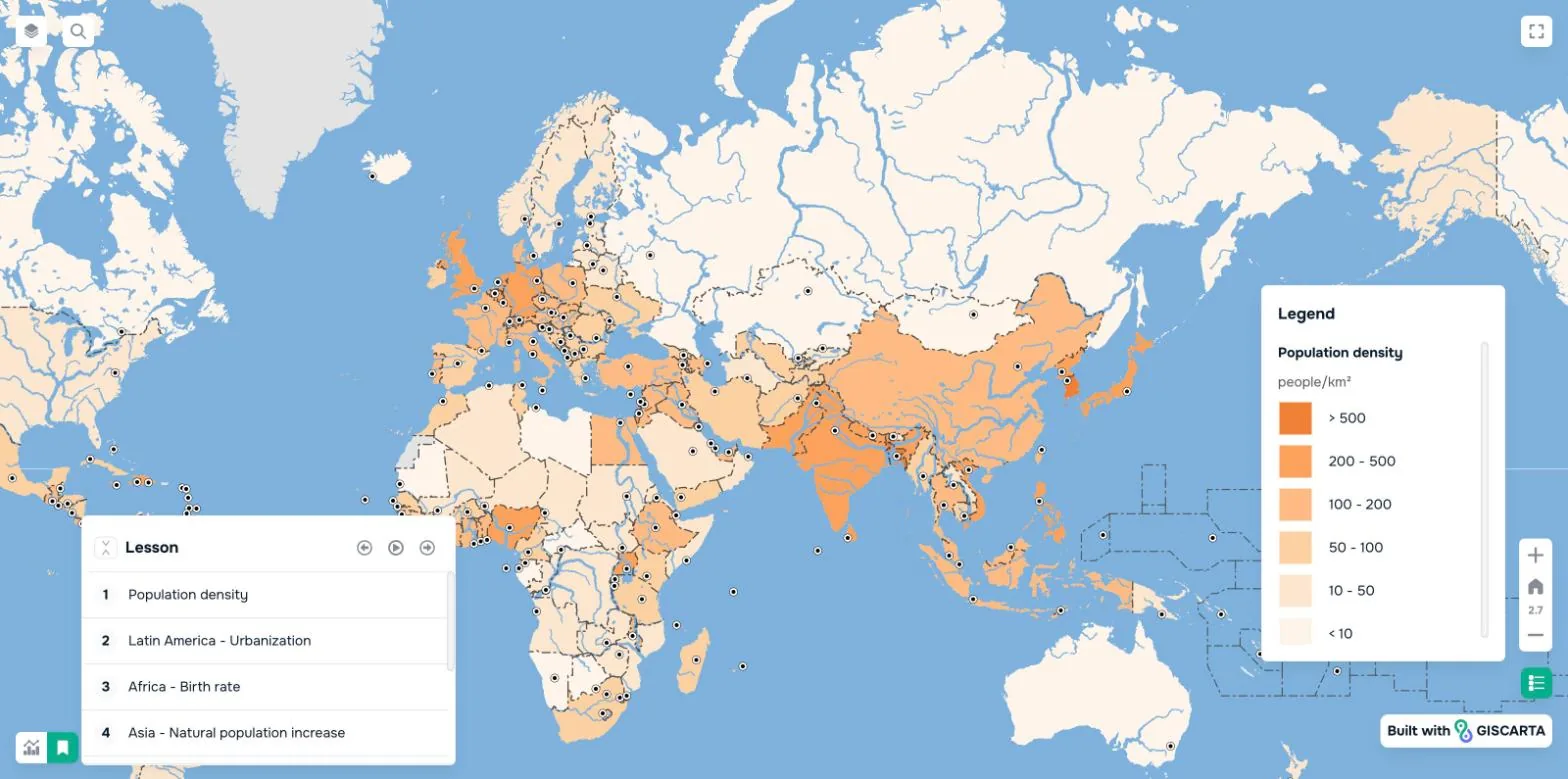
Ready-made world maps with layers you switch on and off
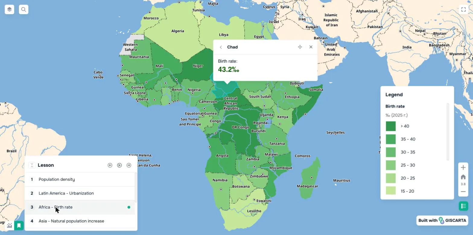
Lessons on the map
Step-by-step scenarios that replace the slide deck
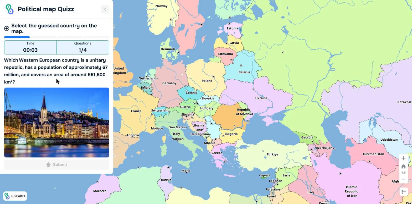
Map quizzes
Students find the answer on the map, against the clock
Map builder
Students turn their research into a published map
Digital tools for geography and history teaching, from the classroom to the education authority
Working with a map teaches students to compare territories, read data and explain how nature, people and the economy are connected. GISCARTA for Schools gives every school the same professional GIS tools, ready to use in lessons.
For teachers
Ready-made map lessons for geography and history
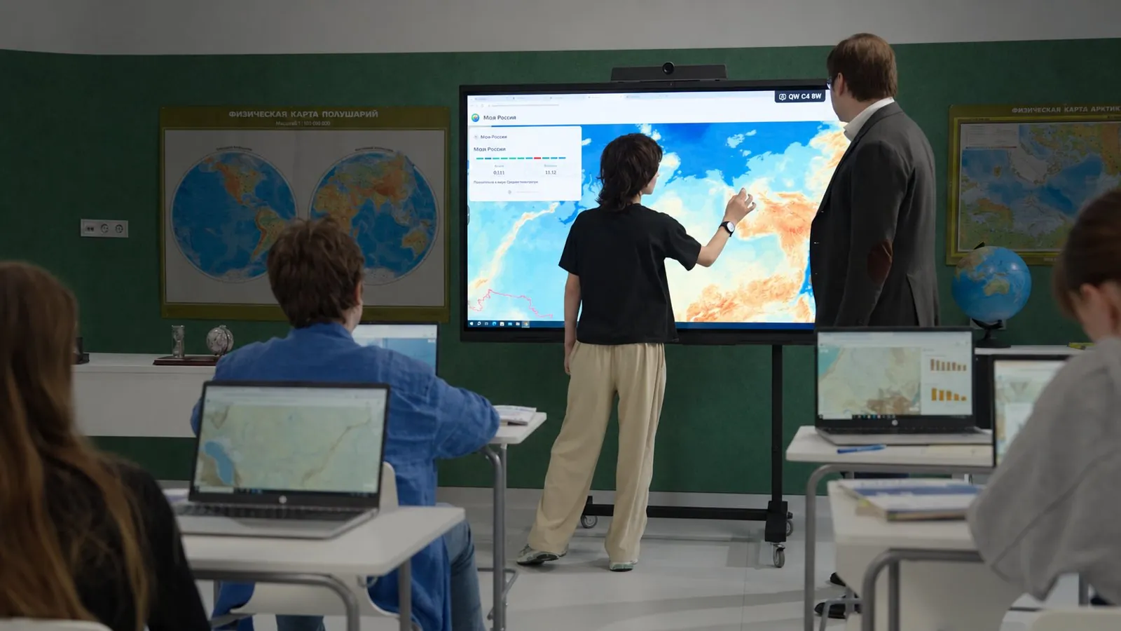
Explain the topic on the interactive whiteboard, then let students continue on their own devices. Less time on slides and handouts, more time on discussion.
Step-by-step lesson scenarios
Current statistics, photos and video
Quizzes, practical work and printable maps
For methodologists
One platform for lessons, practical work and projects
Build a shared library of map-based lessons and research tasks for your department, and help teachers bring GIS into everyday teaching.
Maps structured around the school curriculum
Project-based and interdisciplinary learning
Teacher training and methodological support
For education authorities
A digital education tool that scales across schools
Bring GIS into geography and history classes without installing software. Start with a demo and a pilot, then extend the platform to more schools.
Works on the devices schools already have
Unlimited teachers and students per school
Training, webinars and expert support
A ready-made geography lesson, right on the map
The familiar atlas and slide deck, with the capabilities of modern GIS.
01
Open the lesson
The teacher opens a ready-made scenario. Each step sets the view, layers and legend.
02
Filter the objects
Keep only what the topic needs — say, gas-fired power plants — and explain their location.
03
Key notes on the map
Short explanations next to the objects reveal the links between nature, people and the economy.
04
Object cards
Photos and key facts let the class study an object and discuss why it matters.
Four ready-made world maps and a quiz. No sign-up: open them on the classroom screen or send the link to students.
Political map of the world
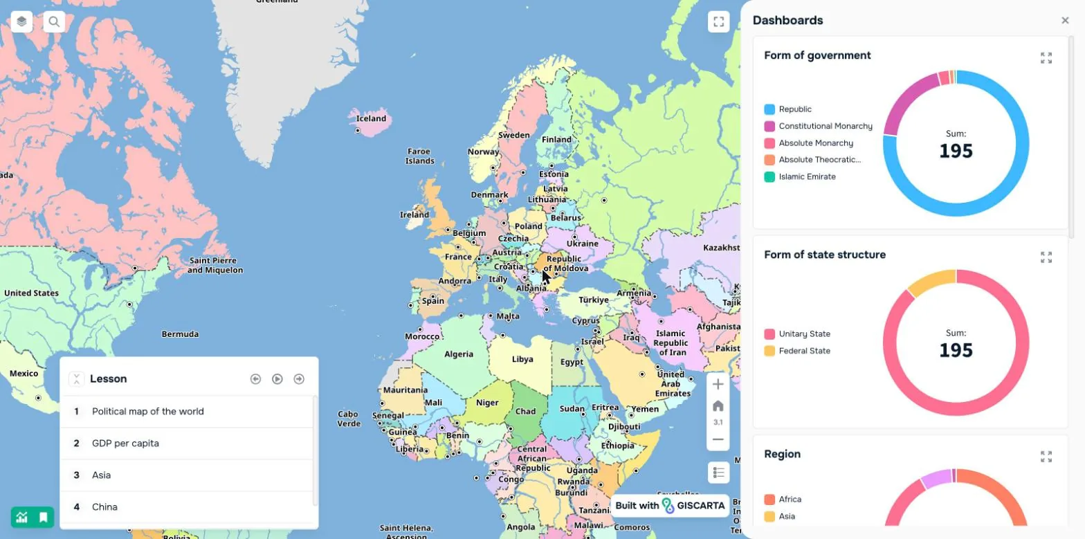
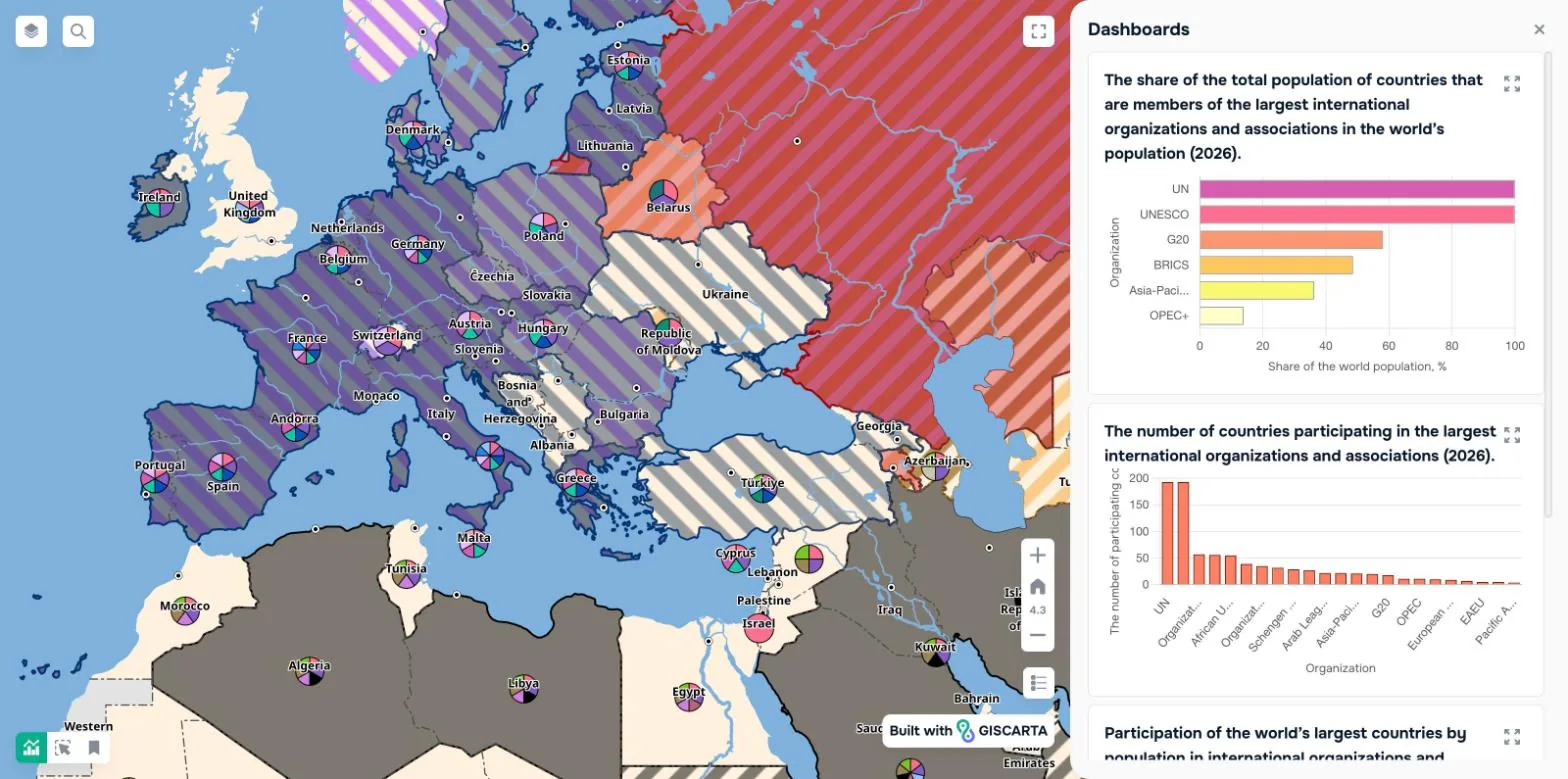
195 countries with capitals, borders, rivers and transport. Filter by form of government, region, population, GDP or HDI, and follow a five-step lesson with live charts.
Students read a short description, work out which country it is and select it on the map. A timer and a progress bar keep the pace; photos give an extra clue.
Teachers build their own quizzes on any map — for a warm-up, homework or a test.
GIS tools for the classroom, with nothing to install
Measure, compare and explain — the skills geography is built on.
Elevation profile
Draw a line and see the relief along it.
Distance and area
Measure routes, borders and territories.
Travel-time zones
What can be reached from a point in a given time.
Thematic filters
Keep only the objects the topic is about.
Time slider
Watch data and borders change over the years.
Layer comparison
Overlay layers to find patterns and test hypotheses.
Charts on the map
Live dashboards built from the same data.
Photos and video
Object cards that turn a map into a virtual field trip.
Printable maps
For worksheets and outline-map tasks.
Interactive maps for history lessons
Historical maps
“History is geography in time.”
— Élisée Reclus, geographer
A growing collection of historical maps — from colonial empires to interwar Europe — with a time slider and cards for the people and states of each period.
Local history
Your town on the map, then and now
Lay a historic city plan over today’s map — Kaluga in 1912, for example — and trace how familiar streets, buildings and districts changed.
Study change in places students know
Connect geography, history and ecology on one territory
Learn to research: sources, observation, mapping
From lesson to student project
The map is the result: students turn their own research into an interactive map and present it by link.
01
Collect the data
Field observations, photos, documents and statistics from the student’s own research.
02
Design the map
Set symbols, labels, colours and filters in the map builder.
03
Present the result
Publish the map and open it by link in class, at a school conference or a project defence.
2025–2026 school year
Tested in real classrooms
schools
70
regions
30
students
5,000+
Teachers highlighted
Up-to-date data on the platform
Easier lesson preparation and practical work
Support for geography exam preparation
How to bring GISCARTA for Schools to your school
01
Demo
We show the platform on a topic from your school’s programme.
02
Pilot
Teachers try it in class; we check your equipment.
03
Training
Access for teachers and students, plus hands-on training.
04
Support
Webinars, masterclasses and help with teaching methods.
05
Projects
Advice on creating your school’s own maps.
Whole-class work: teacher’s computer, internet and a screen or interactive whiteboard
Independent work: student laptops or tablets with internet
Annual licence for one school
Included
Content for grades 7–11
Interactive world and regional geography maps, structured around the school curriculum.
Teacher training
Using ready-made maps in lessons and creating your own.
New thematic maps
Maps by our specialists for holidays and anniversaries through the year.
Expert support
Technical questions and teaching methods.
Career talks
GIS, app development, geomarketing and related fields.
Unlimited teachers, students, maps and projects
Within one school
Tell us about your school or school network, and we’ll prepare a proposal and a demo on a topic from your programme.
A browser-based platform for teaching geography and history with interactive maps. It combines a digital school atlas, step-by-step lessons on the map, map quizzes and a map builder for student projects.
Why use GIS and interactive maps in geography lessons?
Working with a map teaches students to compare territories, read data and explain geographic patterns. Layers, filters and object cards turn a static atlas into a tool for asking questions and backing answers with facts.
Can it be used in history lessons?
Yes. Historical maps come with a time slider and cards for people and states, and students can lay a historic city plan over today’s map for local history projects.
Which grades and subjects is it for?
Ready-made content covers grades 7–11. It suits geography, history, local history and environmental studies, as well as interdisciplinary and research projects.
Does a teacher need GIS experience?
No. The platform is built for teachers without GIS training, and the annual licence includes teacher training and ongoing support.
What equipment does a school need?
A browser and an internet connection. For class work, a teacher’s computer and a screen or interactive whiteboard; for independent work, student laptops or tablets. Nothing to install.
Can students build their own maps?
Yes. In the map builder students add their own data, photos and documents, style the map and publish it by link for class discussion or a project defence.
Can an education authority roll it out across many schools?
Yes. Each school gets an annual licence with unlimited teachers, students, maps and projects. We usually start with a demo and a pilot, then train teachers and support them as more schools join.
How do I request a demo or a proposal?
Write to support@giscarta.com. We’ll show the platform on a topic from your programme and prepare a proposal for your school or school network.
See GISCARTA for Schools in your classroom
We’ll show the platform on a topic from your curriculum and talk through scenarios for lessons and projects.